Top Survey Company in Dubai – Accurate Results in 24 Hours
Electra Surveying Enginering Services
Professional land, marine, and 3D surveying services for construction, infrastructure, and real estate projects across the UAE.
Why Choose Us
10 Years Of Undefeated Success
Electra Surveying Engineering Company (ESE) is a trusted provider of surveying services across the UAE, delivering fast and accurate results within 24–48 hours. Using advanced technologies such as drone surveying, LiDAR, and 3D scanning, our experienced engineers ensure reliable and efficient solutions for all project types. At ESE, we are committed to quality, competitive pricing, and complete client satisfaction.
Our Clients


![Home lshk]m](https://electra-surveys.com/wp-content/uploads/2025/12/lshkm.png)
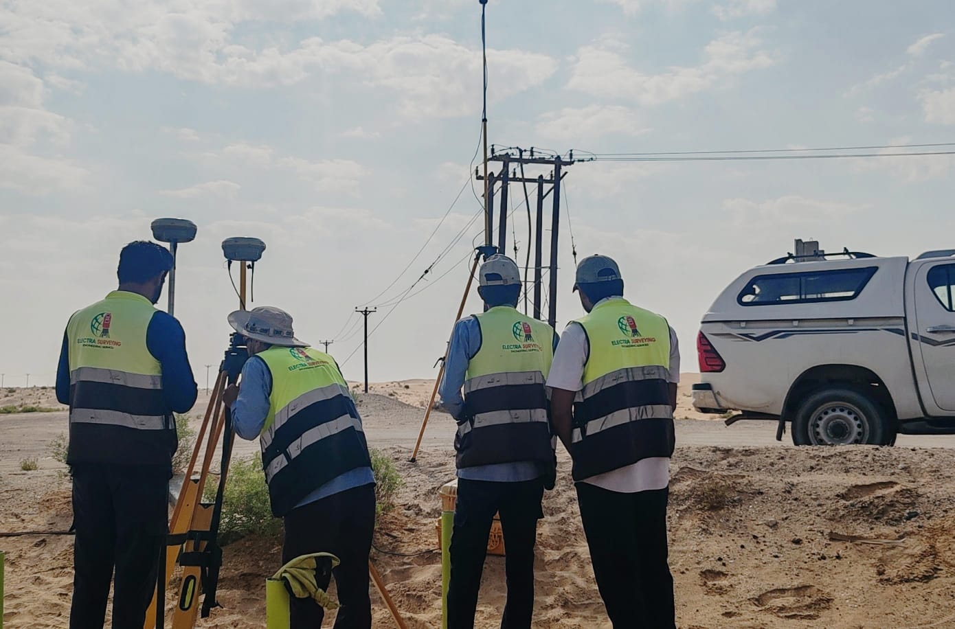


Our Core
Quality Services

Land Surveying
Providing precise measurements and detailed mapping for land development, construction, and property management across the UAE.

Underground Utility Mapping
Detecting, mapping, and documenting underground utilities with advanced technology to ensure safe and accurate construction planning.

Aerial Data Collection
Capturing accurate aerial data using drones and UAV technology for topographic surveys, mapping, and project planning.

Mobile mapping 3D scanning
Using advanced mobile mapping systems and 3D laser scanning to create precise models and measurements for construction and infrastructure projects.

Hydrographic Surveying
Conducting precise surveys of water bodies, including depth measurement, seabed mapping, and hydraulic analysis for safe and efficient marine and infrastructure projects.

P.M and Consultancy
Electra provides comprehensive Project Management and Consultancy services to ensure projects are delivered on time, within budget, and to the highest quality standards.

Hydrology Study and hydraulic modelling
Electra delivers accurate Hydrology Studies and Hydraulic Modelling to assess water behavior, manage flood risks, and support sustainable infrastructure development.

3D Laser Scanning & Modelling
Electra provides high-precision 3D Laser Scanning and Modelling services to capture accurate spatial data for complex environments.

Manpower and Equipment
Electra provides qualified technical manpower and advanced surveying equipment to support projects of all sizes and complexities.
Our Projects
Electra has successfully delivered a wide range of surveying, engineering, and consultancy projects across the region. Our experience spans infrastructure, construction, utilities, and development projects, providing accurate data and reliable solutions for our clients.
BATHYMETRIC SURVEY OF UAE PORTS
Dubai, UAE
DESIGN AND SUPERVISION FOR IMPLEMENTATION OF DAMS, CHANNELS
Eastern Coast , UAE
LNT DEWA 3 TOPO SURVEY MBR SOLAR
Abu Dhabi, UAE
EMIRATES ELECTRICAL LIGHTING POLE
Abu Dhabi, UAE
Our Certificates


Our Equipment's


Request a Quote
Learn More From
Frequently Asked Questions
Electra offers a comprehensive range of surveying and consultancy services, including land surveying, underground utility mapping, 3D laser scanning, hydrology and hydraulic modelling, project management, and technical manpower support.
We work across infrastructure, construction, real estate development, utilities, transportation, and government projects.
We utilize advanced surveying technologies such as GPS, total stations, laser scanners, drones, and industry-standard modelling software to ensure accuracy and efficiency.
Yes. Electra supports both small-scale assignments and large, complex projects with flexible solutions tailored to client requirements.
Absolutely. All our services comply with applicable local authority requirements and international engineering standards.
You can contact us through our website contact form, email, or phone. Our team will review your requirements and respond promptly.
